Dragonette Constellation
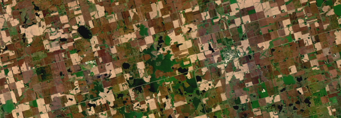
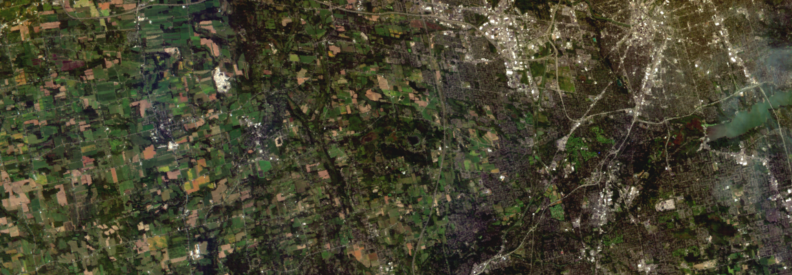
Dragonette is a hyperspectral satellite capturing up to 31 narrow bands across the visible and near-infrared (VNIR) spectrum at roughly 5-m spatial resolution. Because materials exhibit unique spectral signatures, it reveals subtle chemical and material differences between targets that standard optical imagery misses. This enables targeted prioritization for applications such as maritime vessel detection, forest species mapping, and crop health monitoring.
Order Type
Archive
Historical imagery data
- Minimum Order
- 400 km² (Based on Full Scenes)
- Acquisition Time
- Data collected more than 30 days ago
- Price (Per scene)
- Contact us for details
Prices are based on platform purchases and may vary depending on selected options or license terms.
Request a Quote
Technical Specifications
| Item | Details |
|---|---|
Sensor Type | Optical |
Spatial Resolution | 5.3 m |
Off-nadir Angle | 0°~20° |
Spectral Bands | PAN, VNIR |
Geographic Coverage | Global |
Data Release Date | 2023.04.15 |
CRS | Geographic WGS84 |
Min AOI Size | Archive 100 km² / Tasking 50 km² |
Revisit rate | 1.5 days |
Processing Levels | L2A |
Max AOI Size | 400 km² per site, based on 1 scene / 5,000 km² |
Swath Width | 20 km |
Minimum Solar Elevation Angle | +15° |
Delivery Format | ZIP bundle file |
Bit Depth per Pixel | 12-bit |
Positional Accuracy | 25~100 m CE90 |
Description | Key Advantages of the Satellite: - High-resolution hyperspectral sensors - Depending on the satellite 23 to 31 extended VNIR bands are provided - Fast revisit cycle with an average of 1.5 days Main Application Areas: Primarily used for advanced analytical fields such as precision agriculture and environmental monitoring, urban development and infrastructure management, resource exploration, and material identification |
Copyright Policy
| Item | Data License Agreement |
|---|---|
| Internal Use EULA | View Data License Agreement |
| Public Release EULA | View Data License Agreement |