GRUS Constellation
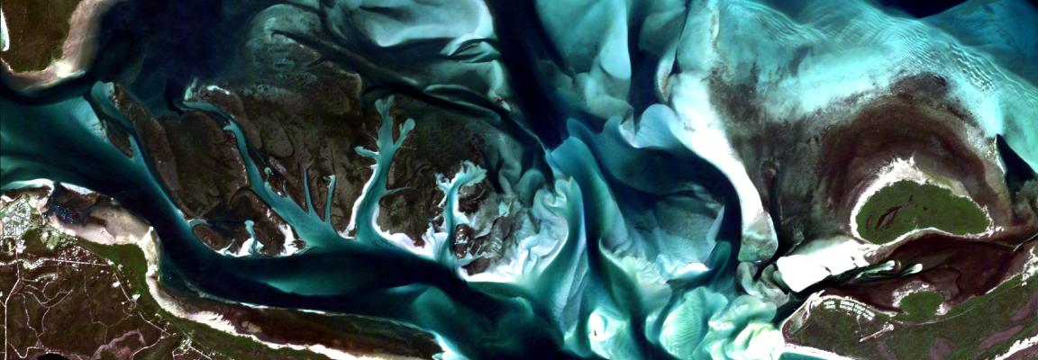
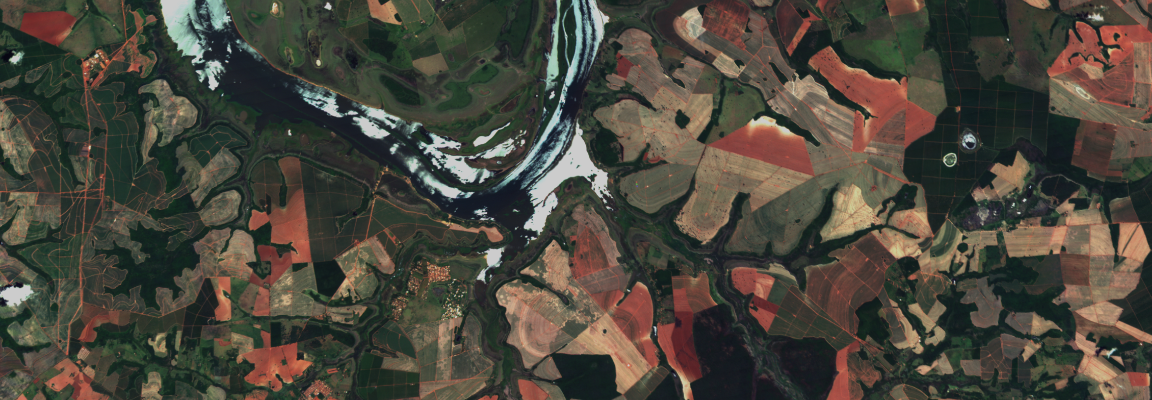
GRUS is an optical microsatellite constellation designed for wide-area repeat observation, offering 2.5-m panchromatic and 5-m multispectral imagery with a wide swath of 55 km or more. Equipped with six spectral bands—including Red Edge and NIR—it is highly optimized for agriculture and vegetation analysis. Rather than ultra-high resolution, its core strength lies in frequent, broad-coverage monitoring, making it ideal for tracking large-scale changes.
Order Type
Archive
Historical imagery data
- Minimum Order
- 25 km²
- Acquisition Time
- Archived data acquired since 2019
- Price (Per tile (25 km²))
- Contact us for details
Prices are based on platform purchases and may vary depending on selected options or license terms.
Request a Quote
Technical Specifications
| Item | Details |
|---|---|
Sensor Type | Optical |
Spatial Resolution | 5m (Multi-Spectral) / 2.5m (Panchromatic) |
Off-nadir Angle | 0°~15° |
Spectral Bands | Red, Green, Blue, NIR, Red Edge, Panchromatic |
Geographic Coverage | Global |
Data Release Date | 2020.12.01 |
CRS | Geographic WGS1984 |
Min AOI Size | 100 km² |
Revisit rate | 3 days |
Processing Levels | L1C / L2A |
Max AOI Size | Unlimited |
Swath Width | 55 km |
Minimum Solar Elevation Angle | Scene Specific (Available in metadata) |
Solar Local Time | 10:40 AM~11:00 AM |
Delivery Format | GeoTIFF, JPEG2000, json (metadata) |
Bit Depth per Pixel | 16-bit |
Positional Accuracy | Within 10 m RMSE |
Description | Key Advantages of the Satellite: - Six spectral bands: Panchromatic, Blue, Green, Red, Red Edge, and Near Infrared; high-resolution imagery at 2.5 m - Efficient image acquisition with a wide swath width of over 55 km |
Copyright Policy
| Item | Data License Agreement |
|---|---|
| EULA | View Data License Agreement |