SkyBee Constellation
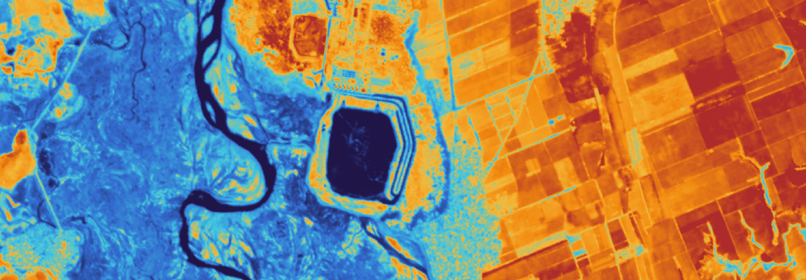
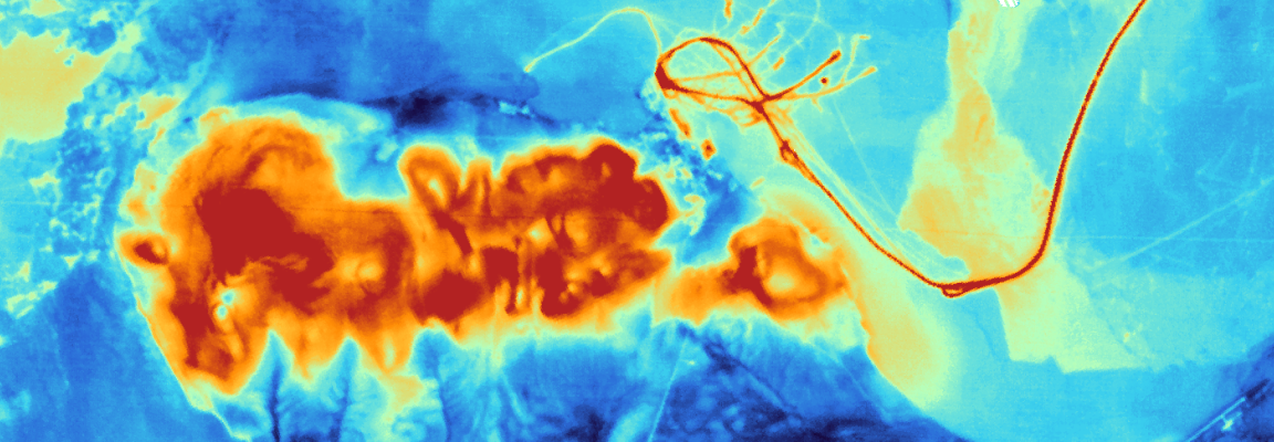
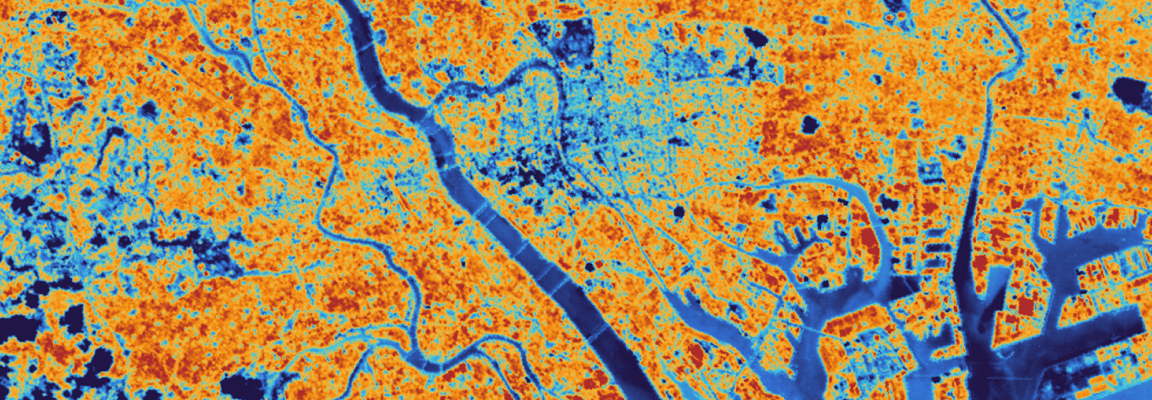
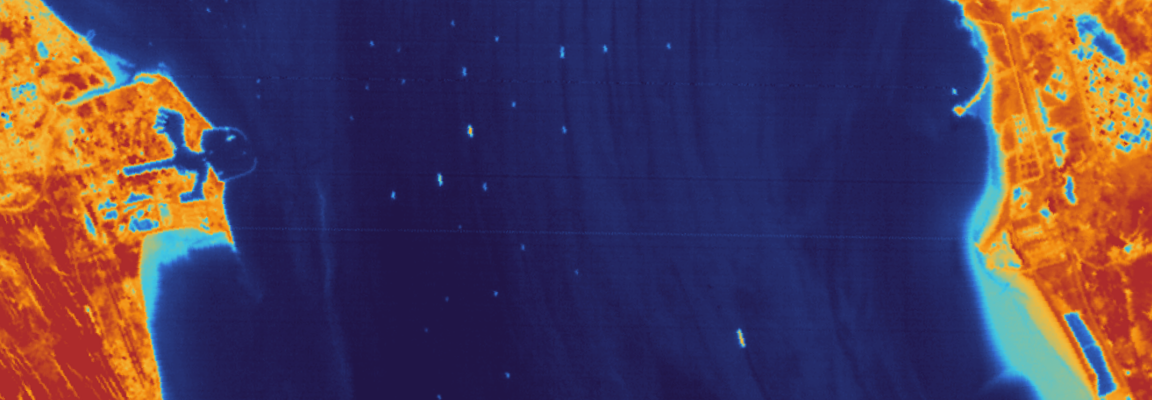
Skybee provides thermal satellite imagery that measures heat emitted from the Earth's surface. Skybee provides thermal satellite imagery that measures heat emitted from the Earth's surface. Detecting thermal energy rather than reflected light enables 24/7 day-and-night observation, capturing subtle temperature variations and heat sources invisible on optical imagery. This supports analyzing thermal dynamics such as equipment anomalies, crop water stress, and urban heat islands, serving as a valuable complementary data source to optical and SAR imagery for industrial, urban, agricultural, and water resource management.
Order Type
Archive
Historical imagery data
- Minimum Order
- 225 km² (Based on Full Scenes)
- Acquisition Time
- Archived data acquired since 2025
- Price (Per scene)
- Contact us for details
Prices are based on platform purchases and may vary depending on selected options or license terms.
Request a Quote
Technical Specifications
| Item | Details |
|---|---|
Sensor Type | Optical |
Spatial Resolution | 30 m |
Off-nadir Angle | -30°~30° |
Spectral Bands | PAN, VNIR, TIR |
Geographic Coverage | Global |
Data Release Date | 2025.01 |
CRS | Geographic WGS84 |
Min AOI Size | 225 km² |
Revisit rate | 1.5 to 3 days |
Processing Levels | L3 / L2A |
Max AOI Size | 15 km x 15 km |
Swath Width | 17.5 km |
Solar Local Time | 10:30 AM~1:30 PM |
Delivery Format | ZIP bundle file |
Bit Depth per Pixel | 16-bit |
Description | Key Advantages of the Satellite: - High revisit frequency, enabling daily or more frequent imaging - Exceptional absolute temperature accuracy within 1-2 K, comparable to large-scale satellites - An ultra-sensitive cryocooled sensor capable of detecting subtle temperature changes of less than 0.1 K Main Application Areas: Precision agriculture, urban heat island monitoring, infrastructure and industrial monitoring, defense and security, and other related applications |
Copyright Policy
| Item | Data License Agreement |
|---|---|
| EULA | View Data License Agreement |