THEOS-2
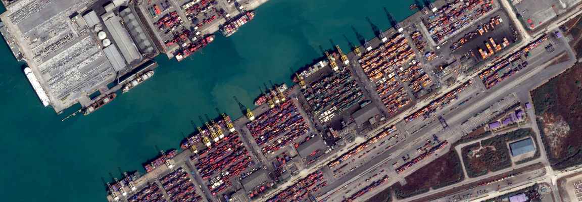
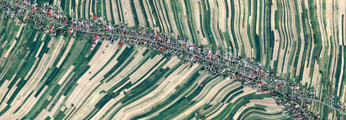
THEOS-2 delivers 50 cm very high-resolution satellite imagery that enables detailed identification of urban features such as buildings, roads, parking areas, and construction sites at the individual-object level. It is particularly well suited to dense urban environments where detecting small-scale changes is important, supporting applications such as urban mapping, infrastructure monitoring, and construction progress tracking. By combining multi-temporal imagery with GIS analysis, users can monitor infrastructure changes while reducing the need for frequent on-site surveys, supporting decision-making in urban planning and asset management.
Order Type
Archive
Historical imagery data
- Minimum Order
- 25 km²
- Acquisition Time
- Data collected more than 90 days ago
- Price (Per km²)
- $10
Prices are based on platform purchases and may vary depending on selected options or license terms.
Request a Quote
Technical Specifications
| Item | Details |
|---|---|
Sensor Type | Optical |
Spatial Resolution | 50 cm (PAN) / 2 m (MS) |
Off-nadir Angle | -45°~45° |
Spectral Bands | Red, Green, Blue, NIR, Panchromatic |
Geographic Coverage | Global |
Data Release Date | 2023 |
CRS | UTM (Universal Transverse Mercator) |
Min AOI Size | Archive 25 km² / Tasking 100 km² |
Revisit rate | Less than 2 days |
Processing Levels | L2A / L3 |
Swath Width | 10.3 km |
Solar Local Time | 9:30 AM~10:30 AM |
System Acquisition Mode | Pushbroom mode / Spot mode / Long strip mode / Slalom mode / Tri-Mosaic mode / Stereo mode / Tri-Stereo mode |
Delivery Format | DIMAP V2 |
Bit Depth per Pixel | 12-bit |
Positional Accuracy | 25 m CE90 |
Description | Key Advantages of the Satellite: - Very High Resolution optical satellite system - Near-real-time data processing capable of delivering image products within 30 minutes after acquisition Main Application Areas: Urban development and management, geospatial information and 3D modeling, and wide-area monitoring, and other related applications |
Copyright Policy
| Item | Data License Agreement |
|---|---|
| EULA | View Data License Agreement |